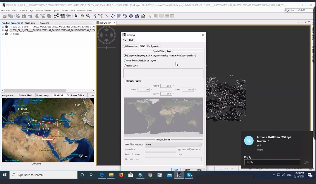
Functioning Earth observations to detect and map fishing zones in North coast Africa (Mediterranean Sea region). The course helps the trainees to understand the basics behind using earth observations to monitor the oceanography parameters such as sea surface temperature and chlorophyll. In addition to map and detect the potential fishing zones based on the suitable environmental conditions of each fish type. It also helps the trainees to download the SST and chl data from sentinel 3 and MODIS sensors and visualize it on SNAP tool or ArcGIS.

- Manager: Diarra DIALLO
- Manager: Linda ETTA
- Manager: Valère-Carin JOFACK SOKENG
- Manager: David KIRUGARA
- Manager: Jean Claude MANZI
- Manager: Brice_prof MONTFRAIX
- Manager: Meshack NDIRITU
- Manager: Tidiane OUATTARA
- Manager: Bachir Mahaman SALEY

