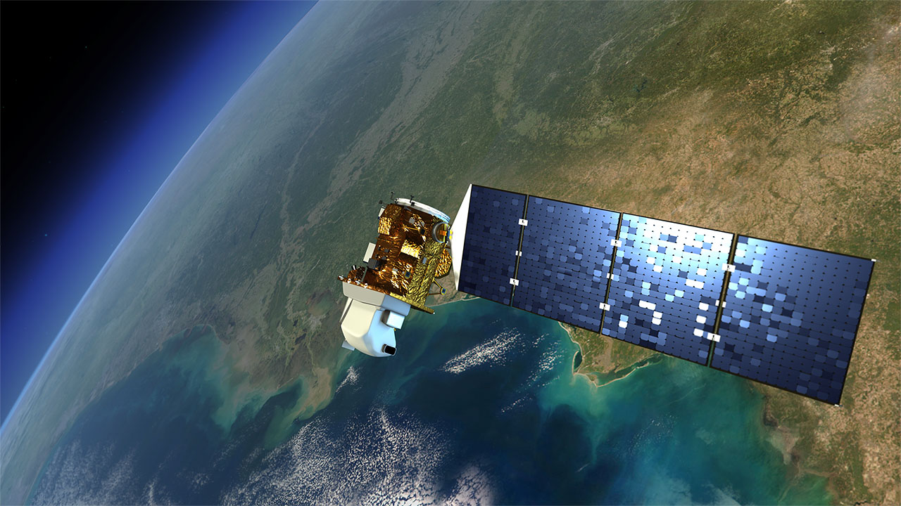
Currently many satellite operator are providing the imagery recorded by their satellites using free online archives. Examples are online archives providing images recorded by the Landsat series of satellites, including Landsat-8, Sentinel 1A/2, the CBERS series of satellites, etc. A large variety of low resolution images and derived products is disseminated through EUMETCast and available to the MESA community operating reception stations but additional information can be retrieved from online archives. A few examples will be provided, e.g. Copernicus and the ESA Scientific Data Hub. High resolution imagery is lacking within the EUMETCast data stream and a setback is that the data has to be retrieved online. This course will focus on a number of these free online archives and participants will register to get access to these archives, select and retrieve images or products and perform the necessary import and pre-processing to use these in a FOSS GIS and RS environment. This course furthermore supports MESA stakeholders not having direct access to facilities provided under the MESA programme (e.g. due to the deployment schedule of the stations) and already facilitates them to use freely available EO resources and derived products.

- Manager: Diarra DIALLO
- Manager: Linda ETTA
- Manager: Valère-Carin JOFACK SOKENG
- Manager: David KIRUGARA
- Manager: Jean Claude MANZI
- Manager: Brice_prof MONTFRAIX
- Manager: Meshack NDIRITU
- Manager: Tidiane OUATTARA
- Manager: Bachir Mahaman SALEY

