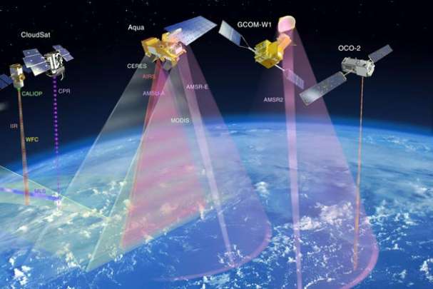
The purpose of this training is to provide participants with the knowledge necessary to apply quantitative remote sensing procedures and subsequently derive some biophysical properties (land applications) or land/ sea surface temperatures. Calculations are performed using pocket calculator or spreadsheets. Furthermore participants are introduced to the use of some generic data translation routines (applying GDAL) for import of products into any common GIS/RS software tools. Also product meta data, indicating scaling and offset parameters, have to be applied.

- Manager: Diarra DIALLO
- Manager: Linda ETTA
- Manager: Valère-Carin JOFACK SOKENG
- Manager: David KIRUGARA
- Manager: Jean Claude MANZI
- Manager: Brice_prof MONTFRAIX
- Manager: Meshack NDIRITU
- Manager: Tidiane OUATTARA
- Manager: Bachir Mahaman SALEY

